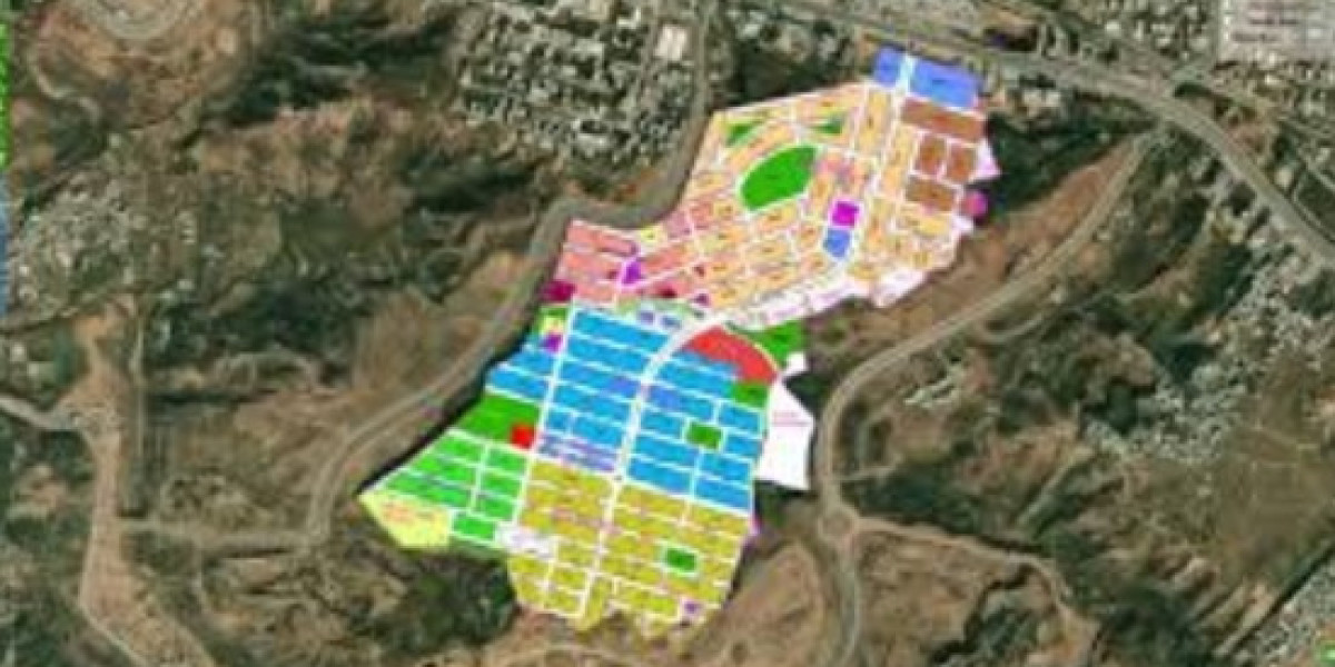
Accurate mapping is essential in real estate, particularly when it comes to navigating property boundaries. Understanding the precise limits of a property can prevent disputes, facilitate transactions, and enhance development opportunities. One practical application of mapping in this context is the creation of housing society maps, which provide detailed layouts of residential areas. This article delves into the significance of accurate mapping in real estate and how it impacts various stakeholders.
Understanding Property Boundaries
Property boundaries are the legal lines that define the extent of ownership. They can be categorized into two types: legal and physical. Legal boundaries are defined in legal documents, while physical boundaries may consist of fences, walls, or natural features such as rivers. Accurate mapping is crucial for identifying these boundaries, ensuring that property owners know exactly what they own and what rights they possess.
The Role of Surveys
Surveys conducted by licensed professionals are vital for establishing accurate property boundaries. Surveyors use advanced tools and techniques to measure and delineate property lines, providing a clear representation of the land. This information is essential for buyers, sellers, and developers to avoid potential conflicts and misunderstandings regarding property limits.
The Importance of Accurate Mapping in Transactions
Accurate mapping plays a significant role in real estate transactions. When buying or selling property, having a clear understanding of boundaries helps to:
- Prevent Disputes: Misunderstandings about property lines can lead to disputes between neighbors. Accurate mapping helps clarify ownership and responsibility for maintenance.
- Facilitate Development: Developers need precise boundary information to plan projects effectively. Knowing the limits of a property allows for better design and compliance with zoning regulations.
- Enhance Marketability: Properties with well-defined boundaries are more attractive to buyers. Clear mapping reassures potential purchasers that there are no hidden issues related to property lines.
Utilizing Technology for Accurate Mapping
Advancements in technology have revolutionized the way property boundaries are mapped. Geographic Information Systems (GIS) and digital mapping tools allow real estate professionals to create detailed and interactive maps. These tools can overlay various data layers, such as zoning information and demographic data, providing a comprehensive view of the property and its surroundings.
Benefits of Digital Mapping
Digital mapping offers several advantages:
- Visualization: Interactive maps help visualize property boundaries and surrounding features, making it easier for stakeholders to understand the layout.
- Data Integration: GIS can integrate various data sources, allowing for a more thorough analysis of property boundaries in relation to market trends and community features.
- Accessibility: Online mapping tools make it easy for potential buyers and investors to access boundary information, enhancing transparency in the real estate market.
Conclusion
Accurate mapping is a cornerstone of effective real estate management and investment. Understanding property boundaries through precise mapping helps prevent disputes, facilitates transactions, and enhances development opportunities. As technology continues to advance, the tools available for mapping will only improve, providing even greater clarity and insight into property boundaries. For real estate professionals and investors, leveraging accurate mapping is essential for navigating the complexities of the market.


